The confirmed scope of a 3DPano™ project
According to information supplied by the project owner, 3DPano™ carried out Vértes–Gerecse AI-visibility work for Aktív Magyarország under an AMFK engagement. Detailed methodology, delivery date and outcome figures are not available here, so we do not report them.
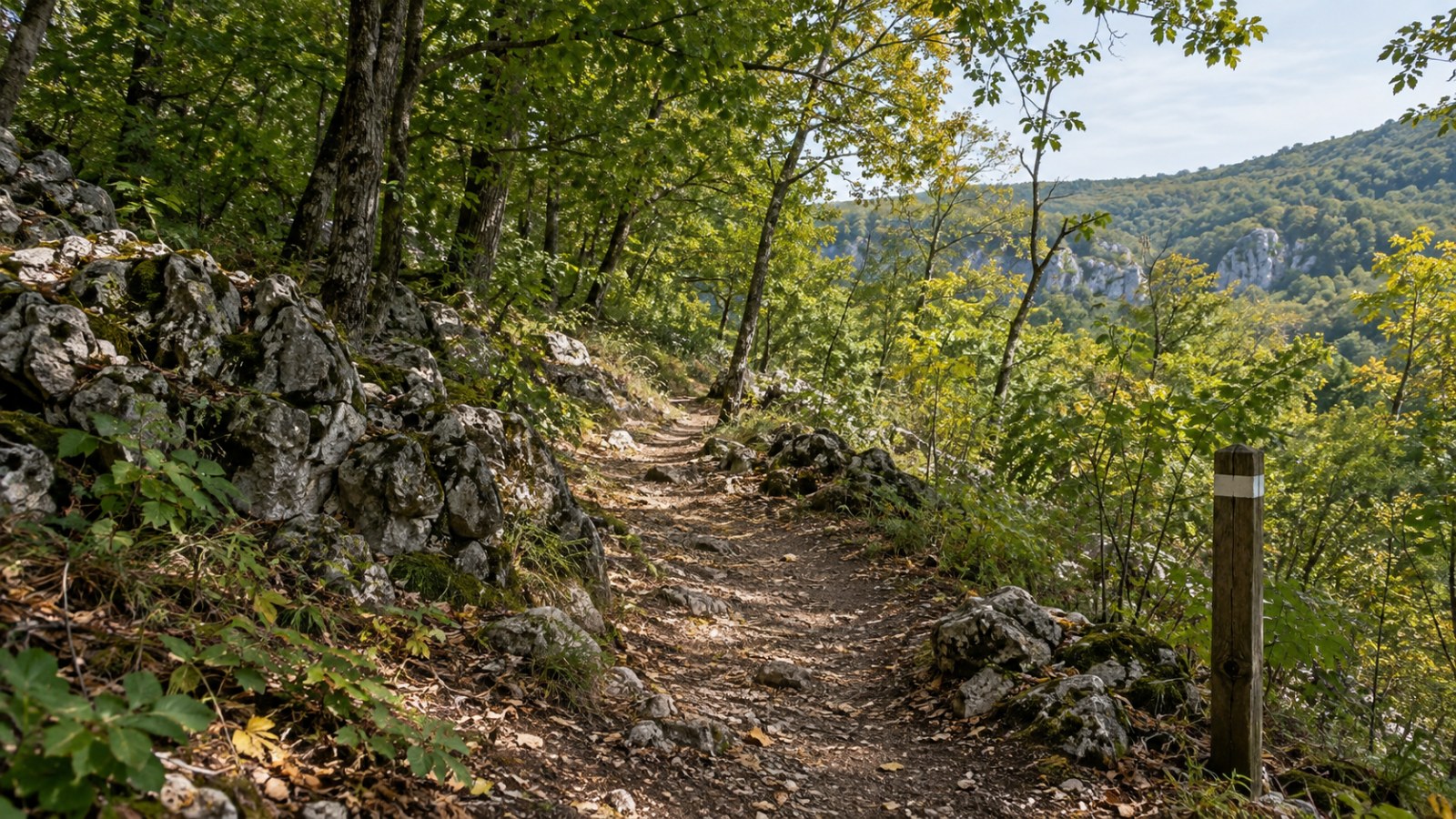
This project information belongs to the editorial work of 17 September 2026, not the retrospective article date. The cover is illustration, not project photography.
Which questions belong at regional level?
Google Maps' contextual search examples support examining specific visitor situations. This is general background, not verification of project results.
Our recommendation is to examine access, connections between activities and current service conditions separately. A short walk, full-day excursion and cycling weekend need different information.
Documented baselines, precise corrections and comparable follow-up observations can demonstrate regional work's value. A project name alone cannot replace them.
Sources and background
- Google Maps: Gemini and navigation updates · 2024-10-31
Editorial note: This series uses retrospective editorial dates; the text and illustration were actually created on 17 September 2026. Practical examples are editorial recommendations, not measured customer outcomes.
Back to the blog